Bouaké
Bouaké (or Bwake, N’ko: ߓߐ߰ߞߍ߫ Bɔ̀ɔkɛ́) is the second-largest city in Ivory Coast, with a population of 740,000 (2021 census). It is the seat of three levels of subdivision—Vallée du Bandama District, Gbêkê Region, and Bouaké Department. The city is located in the central part of Ivory Coast about 50 km northeast of Lake Kossou, the country's largest lake. It is approximately 350 km north of Abidjan on the Abidjan-Niger Railway and about 100 km northeast of Yamoussoukro, the capital of the country.
For the name of the city Bouaké, there are two possible origins:
* The corruption of the chief name Kwa Gbéké that made the foundations of the city of Bouaké.
* The name Bouaké coming from two Baoulé words: "Boua" which means sheep and "Ké" which means dry. Thus meaning the place in which sheep are dried as they would have seen Jola drying sheep skins when they arrived in Bouaké.
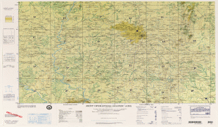
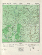
Map - Bouaké
Map
Country - Côte_d'Ivoire
 |
 |
| Flag of Ivory Coast | |
Before its colonization by Europeans, Ivory Coast was home to several states, including Gyaaman, the Kong Empire, and Baoulé. The area became a protectorate of France in 1843 and was consolidated as a French colony in 1893 amid the European Scramble for Africa. It achieved independence in 1960, led by Félix Houphouët-Boigny, who ruled the country until 1993. Relatively stable by regional standards, Ivory Coast established close political-economic ties with its West African neighbours while maintaining close relations with the West, especially France. Its stability was diminished by a coup d'état in 1999, then two civil wars—first between 2002 and 2007 and again during 2010–2011. It adopted a new constitution in 2016.
Currency / Language
| ISO | Currency | Symbol | Significant figures |
|---|---|---|---|
| XOF | West African CFA franc | Fr | 0 |
| ISO | Language |
|---|---|
| FR | French language |


